Travellers eager to find new and interesting vantage points in Sydney can do so by exploring the city’s extensive network of running and walking trails.
From dramatic sandstone cliffs to sandy inlets and well-trodden boardwalks – we’ve rounded up our absolute favourites for you to choose from.
Spit Bridge to Manly Walk
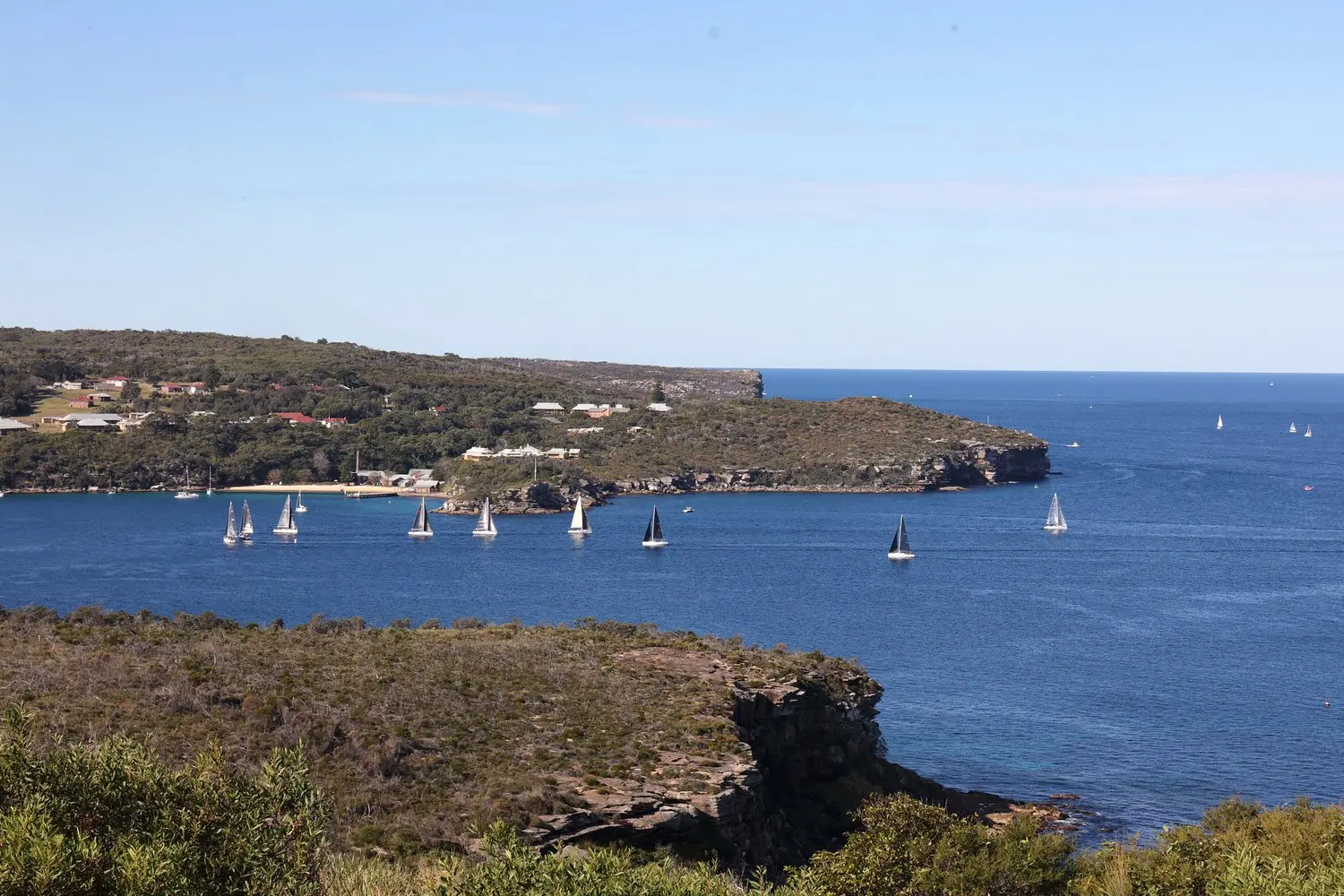
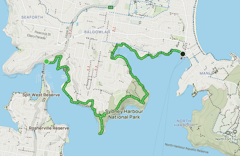
Explore from Spit Bridge to Manly to immerse yourself in Sydney’s subtropical bushland. Pass through the undeniably beautiful beaches, bays and inlets of the northern suburbs via a series of short off-road and paved tracks. This 10km trail is a must-do while in the area, with plenty of shops, restaurants and historical sites like Grotto Point Lighthouse. We don’t recommend taking kids on this trail due to the long, steep and uneven steps along the way.
Tip: Bring bathers! You won’t be able to resist swimming at one of the secret beaches.
Bondi to Coogee Walk
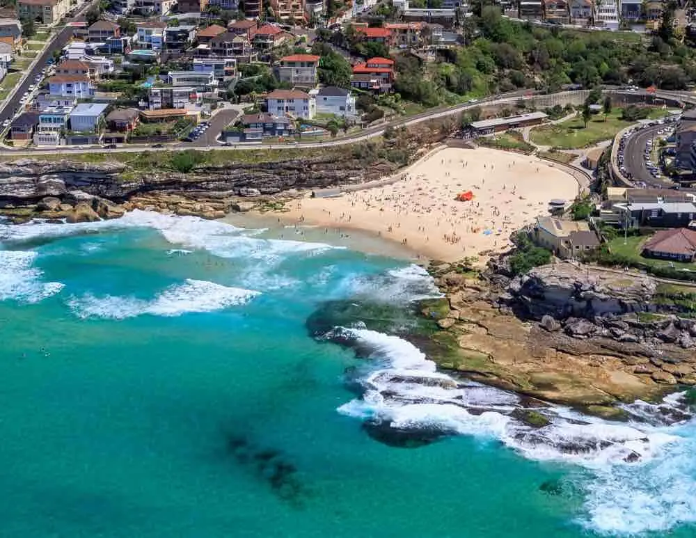
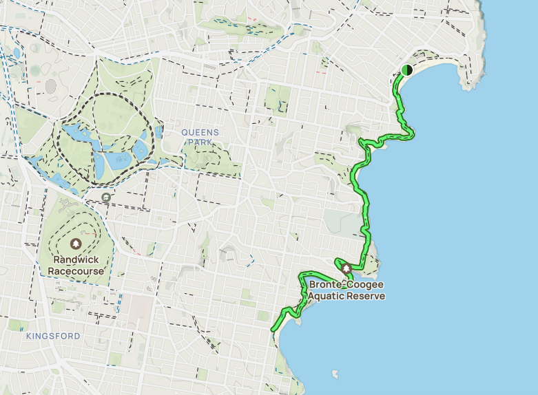
One of Sydney’s most iconic, local trails is the Bondi to Coogee Walk. Starting at the famous Bondi Beach, it’s 6km along a paved path to Coogee beach. We recommend allocating a good chunk of time to this walk to ensure you can stop off at the wide range of beautiful beaches, cliff tops and natural rock pools. There’s even a number of coffee spots to help you refresh along the way.
Tip: Stop off at Gordon’s Bay to snorkel through an underwater nature trail.
Hermitage Foreshore Walk
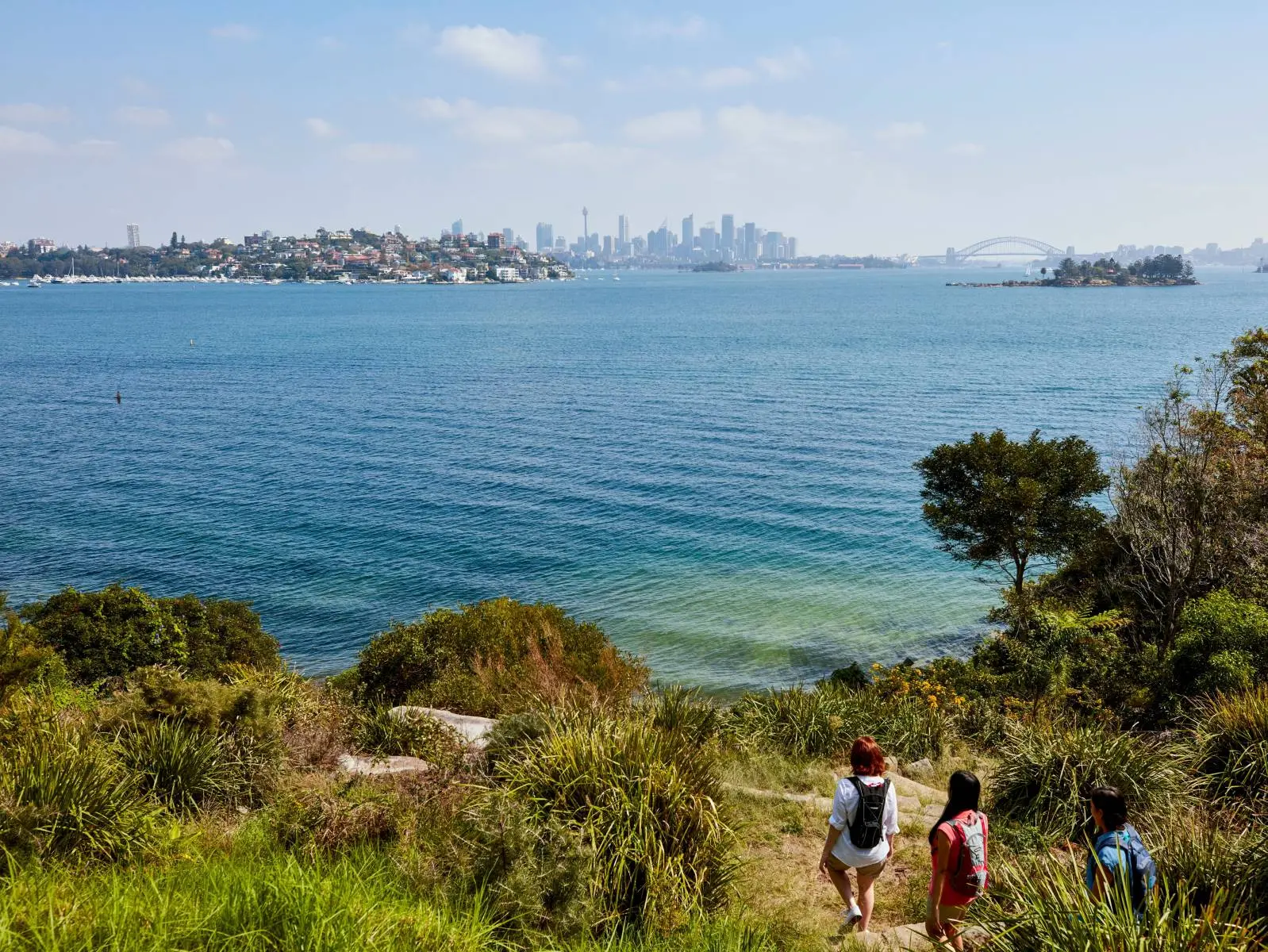
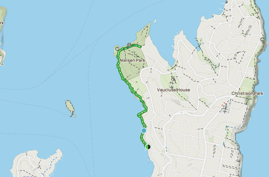
This trail is a great option for walkers and runners looking for a well-shaded coastal track. Start at Nielsen Park and finish at Bayville Hill Road in Rose Bay. During this walk, you’ll be treated to five different beaches where you can swim and picnic, plus views of multi-million dollar homes, like the historic Strickland House. The walk is 1.8km one way and will take you 45-minutes to one hour with no breaks. There are a few stairs but the track is mainly boardwalk.
Tip: Our favourite beach on this trail is Milk Beach. Bring your bathers to see why!
Cape Baily Walking Track
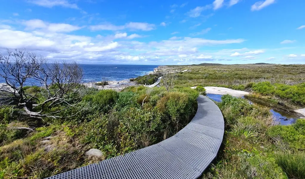
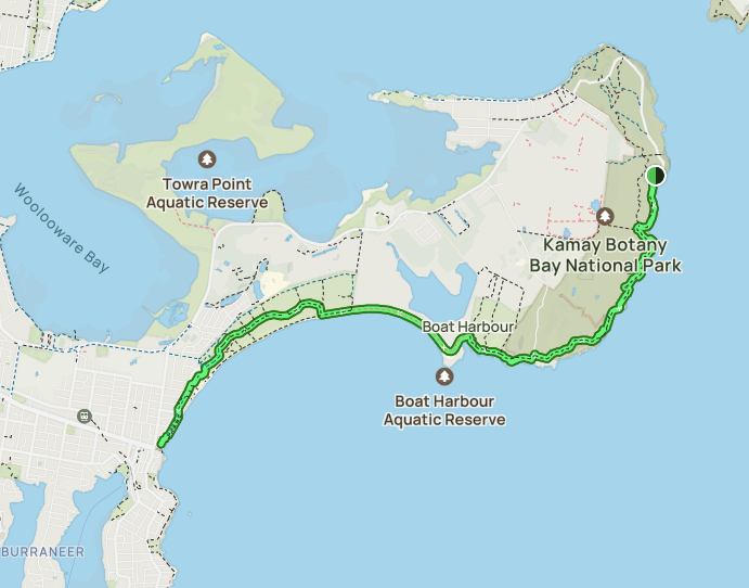
If you’re ready to branch out from Sydney’s typical harbour and beach walks to see stunning cliff tops and rock formations, we strongly recommend lacing up your shoes for the Cape Baily Walking Track. Start at Cape Solander and start traversing the sunny trail. Finish at Potter Point for the 4km one-way option, or turn around and complete the 8km loop back at Cape Solander. For some of Sydney’s best ocean views and unique scenery, Cape Baily Walking Track should be top of your list.
Tip: This is a hot, sunny trail. Bring plenty of water, plus a hat and sunscreen.
South Head Heritage Trail
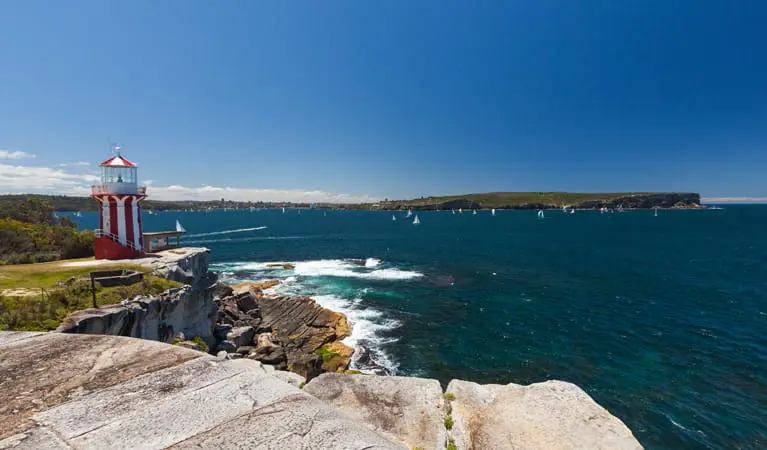
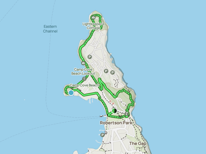
For a walking and running track rich with history and natural beauty, South Head Heritage Trail begins at Watson Bay ferry terminal and finishes at Hornby Lighthouse. Along the way, you’ll follow a sidewalk adjacent to the beach and pass through the stunning Camp Cove. At the lighthouse, there are a range of historical landmarks including a lightkeeper’s cottage, old military cannons, and sandstone guns.
Tip: Look out for whales as you look towards Sydney Harbour, Middle Head and North Head.
Aboriginal Heritage Walk
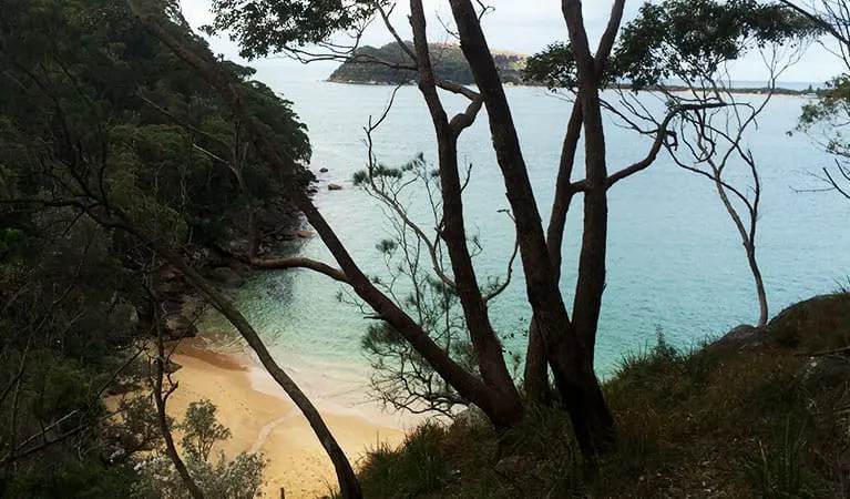
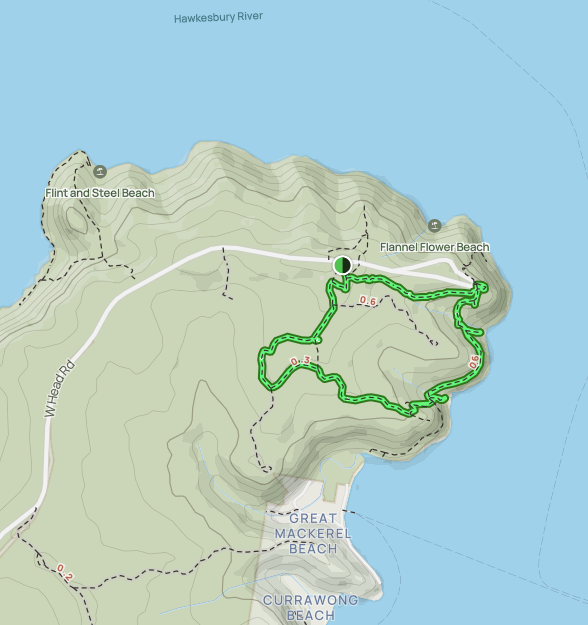
A great walk for both locals and tourists eager to learn more about the stories and heritage of the indigenous people in the area, is the Aboriginal Heritage Walk. Begin the walk at the Resolute picnic area at the end of West Head Road, follow the trail past the sacred Red Hands Cave to the West Head Lookout, and then to Resolute Beach. There are plenty of Aboriginal engravings, artworks and more along the trail. This is a 4.4km loop on a rough track through the bush.
Tip: It can be a difficult track with a few obstacles, steps and steep gradients.
Glebe Foreshore Walk

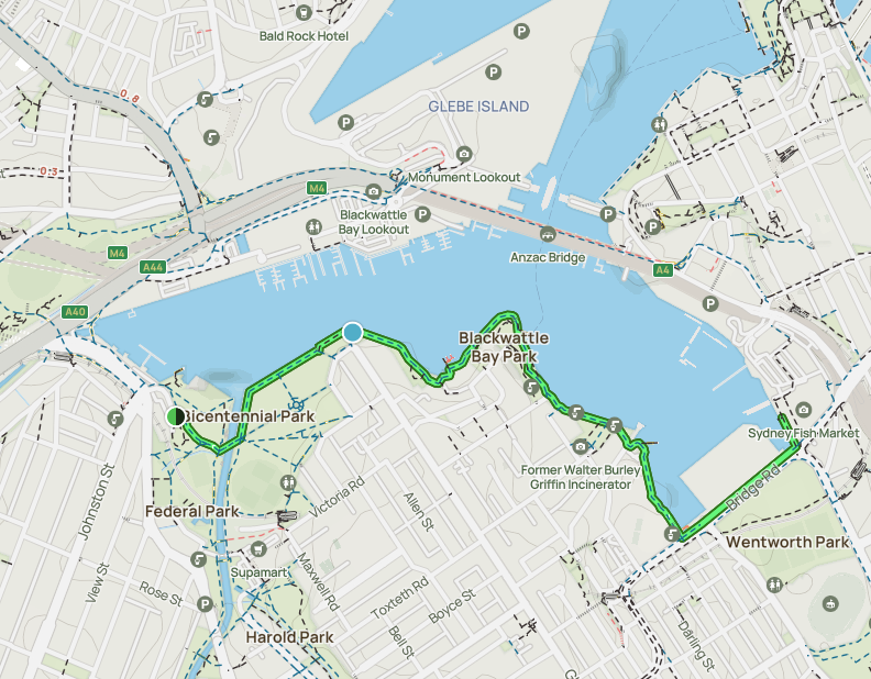
A spacious and enjoyable track along Rozelle and Blackwater Bay. Glebe Foreshore Walk offers great views of the Sydney CBD, Sydney Harbour, and Anzac Bridge. Start the track at Bicentennial Park, ideally at sunrise or sunset, and finish at the Sydney Fish Markets. This is a great 2.2km track for all fitness levels with stunning bay views and wide-open parks. Not to mention it’s also dog friendly, with many off-leash sections!
Tip: The Sydney Fish Markets is a great place to finish the walk around lunchtime.
Bangaroo Foreshore Walk, CBD
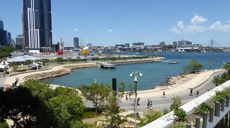
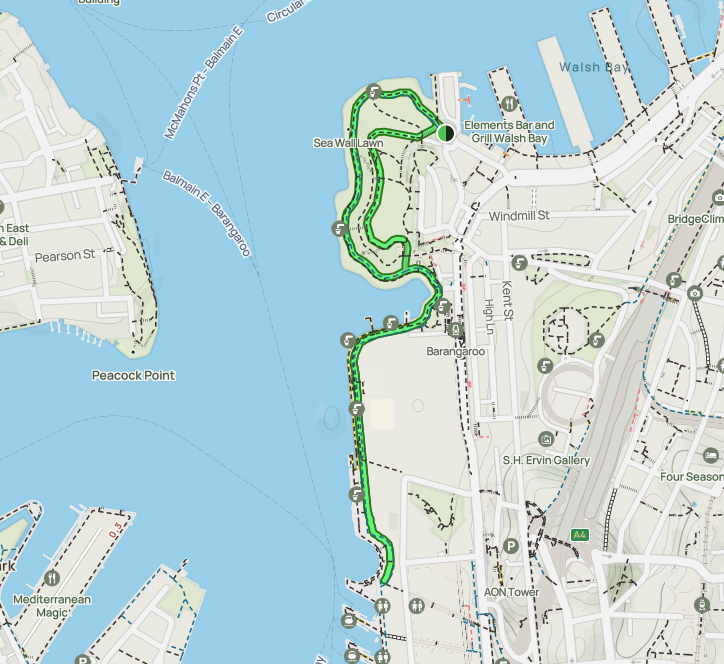
A fantastic walk designed to appeal to walkers and runners of all fitness levels – soak in the city’s sunshine by traversing the 11km, or a 2km stretch, of Sydney’s Bangaroo Foreshore Walk. The complete 11km track extends from Finger Wharf in Woolloomooloo to the Anzac Bridge. Those with less time can take the 2km alternative that extends through the public Barangaroo Reserve. Each option boasts monumental attractions, with the longer route highlighting Mrs Macquarie’s Chair and the Sydney Opera House.
Tip: There are minimal stairs on this track. The few that do exist can be detoured, perfect for prams and wheelchairs.
Barrenjoey Lighthouse Walk
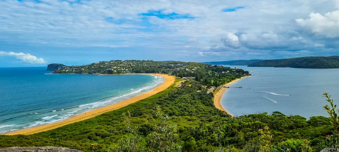
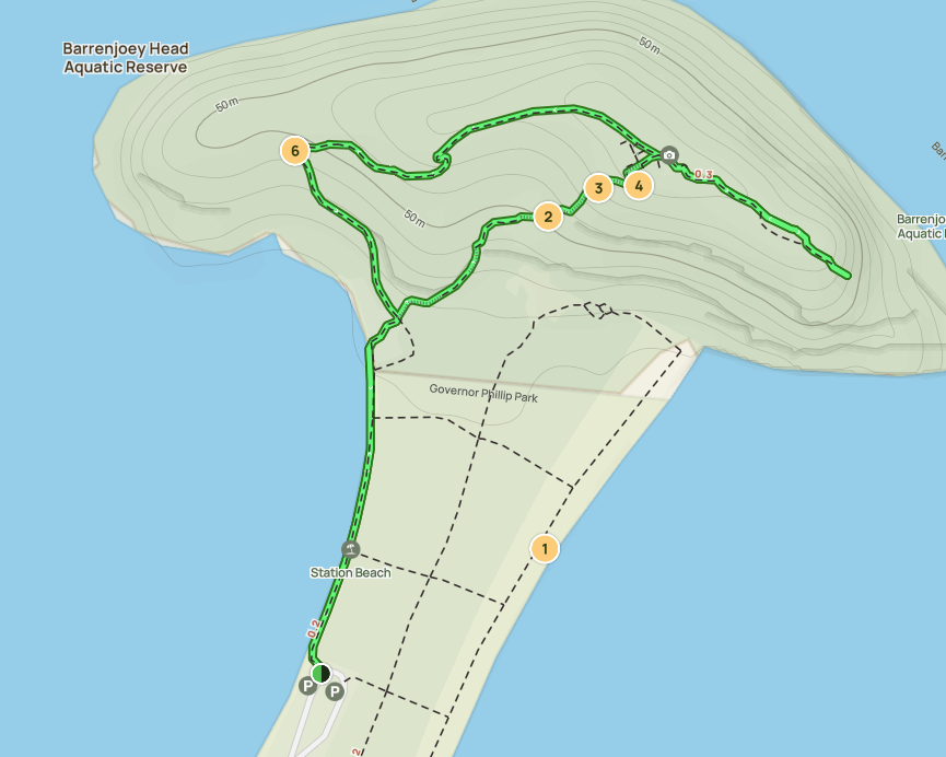
A shorter bush walk with lots of remarkable views and a heritage landmark to explore – Barrenjoey Lighthouse Walk is a 1-hour looped track from Palm Beach to Barrenjoey Head, in the Ku-ring-gai Chase National Park. Built in 1881, the Barrenjoey Lighthouse is located at the Barrenjoey Head (the mid-point of the track). Witness captivating 360-degree views of the surrounding ocean and native bushland. While this 3km track is short, there are steeper sections and some uneven steps along the unmarked track.
Tip: Start the track at 1199D Barrenjoey Road, Palm Beach NSW.
America Bay Walking Track
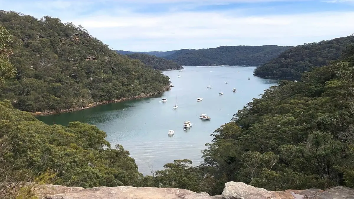
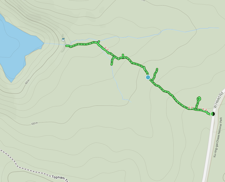
Located in the West Head and Basin Precincts of Ku-ring-gai Chase National Park, America Bay Walking Track is a well-signposted 1.8km trail through national parklands. Witness captivating waterfalls, and plenty of picnic spots, plus interesting aboriginal engravings. The trail descends through dense bushland and bloodwoods to a quaint creek, and then follows the sandstone ridgeline from West Head Road down to America Bay. Don’t miss the natural waterfall at the rock platform overlooking the scenic bay.
Tip: This is a moderate track with a few short, steep hills. Parking is available at West Head Road.
Updated 10/03/2025 to include additional links and updated maps.


