Much of Melbourne’s appeal is in its urban vibrancy. However – woven throughout the city are pockets of natural beauty, taking the form of stunning walking trails. These trails are sensational for locals and visitors wanting to escape the urban rush, with plenty of lush parks, serene riversides and picturesque landscapes to explore.
Looking for a walk near you? Our guide below has all the information you need. Lace up your shoes and get ready to walk out the door, here are 10 Beautiful Walks to Discover in Melbourne.
Main Yarra Trail
Length: 23.5km
Time: 3 hours
Type: Point to Point
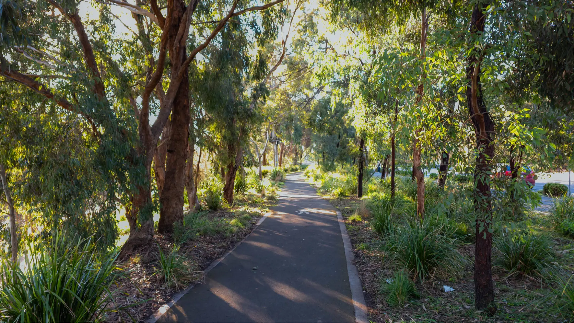
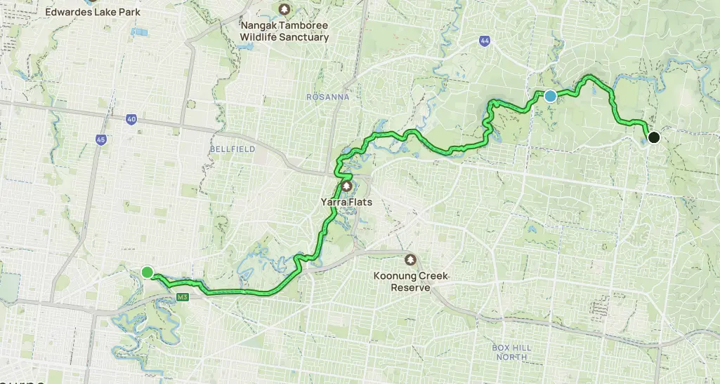
Iconic to Victoria, the Yarra Trail stretches from the fringe of Melbourne’s eastern suburbs right through to the CBD. While its point-to-point distance is 23.5km, those short on time can reduce the distance by utilising one of the many section access points. A popular trail for birding, road biking and running, the Yarra Trail covers interesting turf as it meanders along the Yarra River. The track is mostly paved, transitioning to compact gravel further upstream. Its flat and easy gradient makes it an ideal option for cyclists, walkers, wheelchair-users and strollers.
Port Melbourne to St Kilda
Length: 6.24km
Time: 1.5 hours
Type: Point to Point
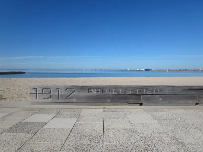
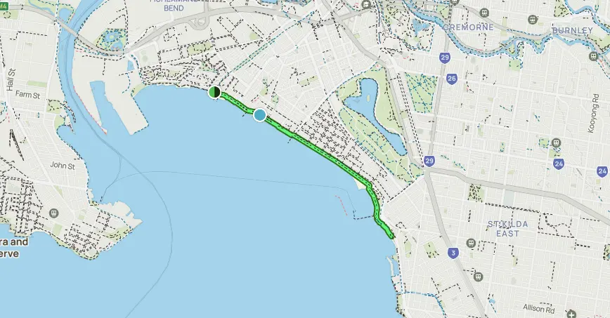
A key drawcard for visitors to Melbourne is the Port Melbourne to St Kilda Walk. Boasting a highly scenic coastal route, this track is perfect for exploring the city’s bayside area. Along the way you’ll pay witness to Station Pier, Port Melbourne and Middle Park beaches, and St Kilda Pier and Sea Baths. Walk point to point, or stop along the way – this route takes you past the famous cafe, restaurant and shopping hub of Acland Street. Perfect for people of all fitness levels, the Port Melbourne to St Kilda track is a completely-paved flat and easy walk.
Kororoit Creek Trail
Length: 21.7km
Time: 3 hours
Type: Point to Point
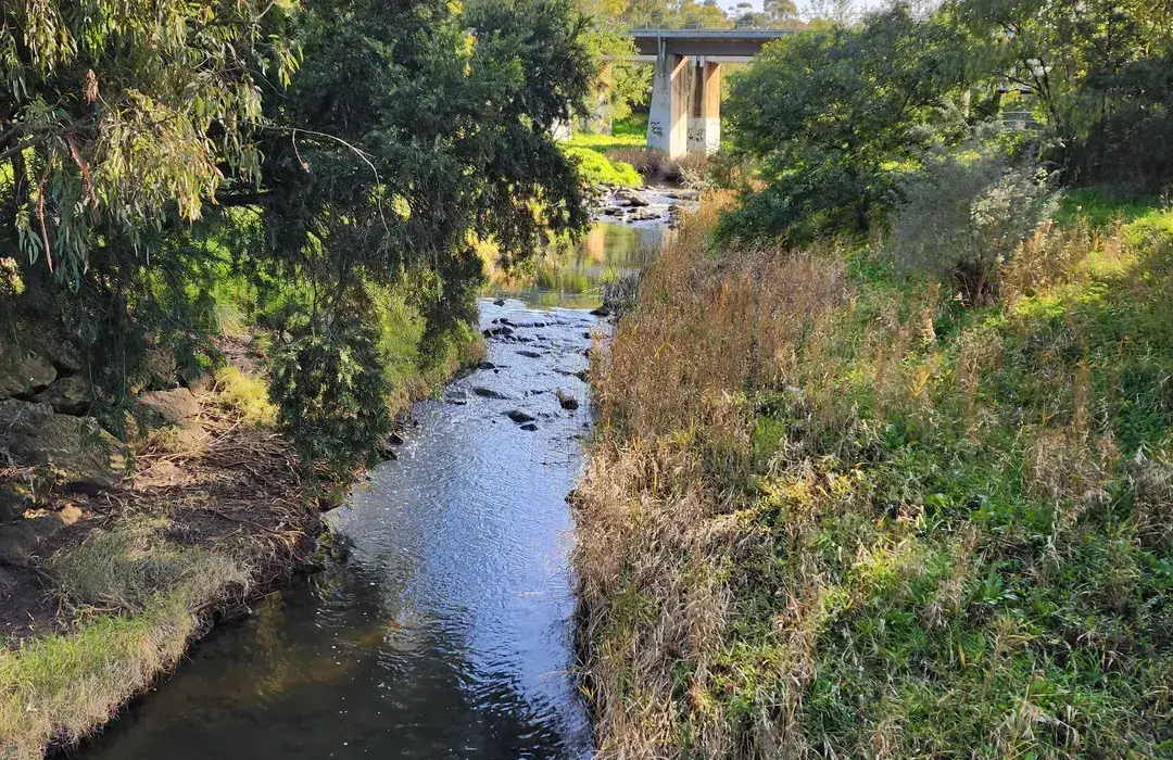
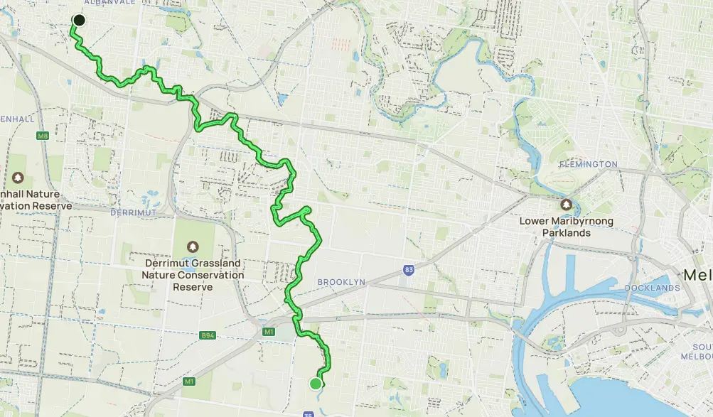
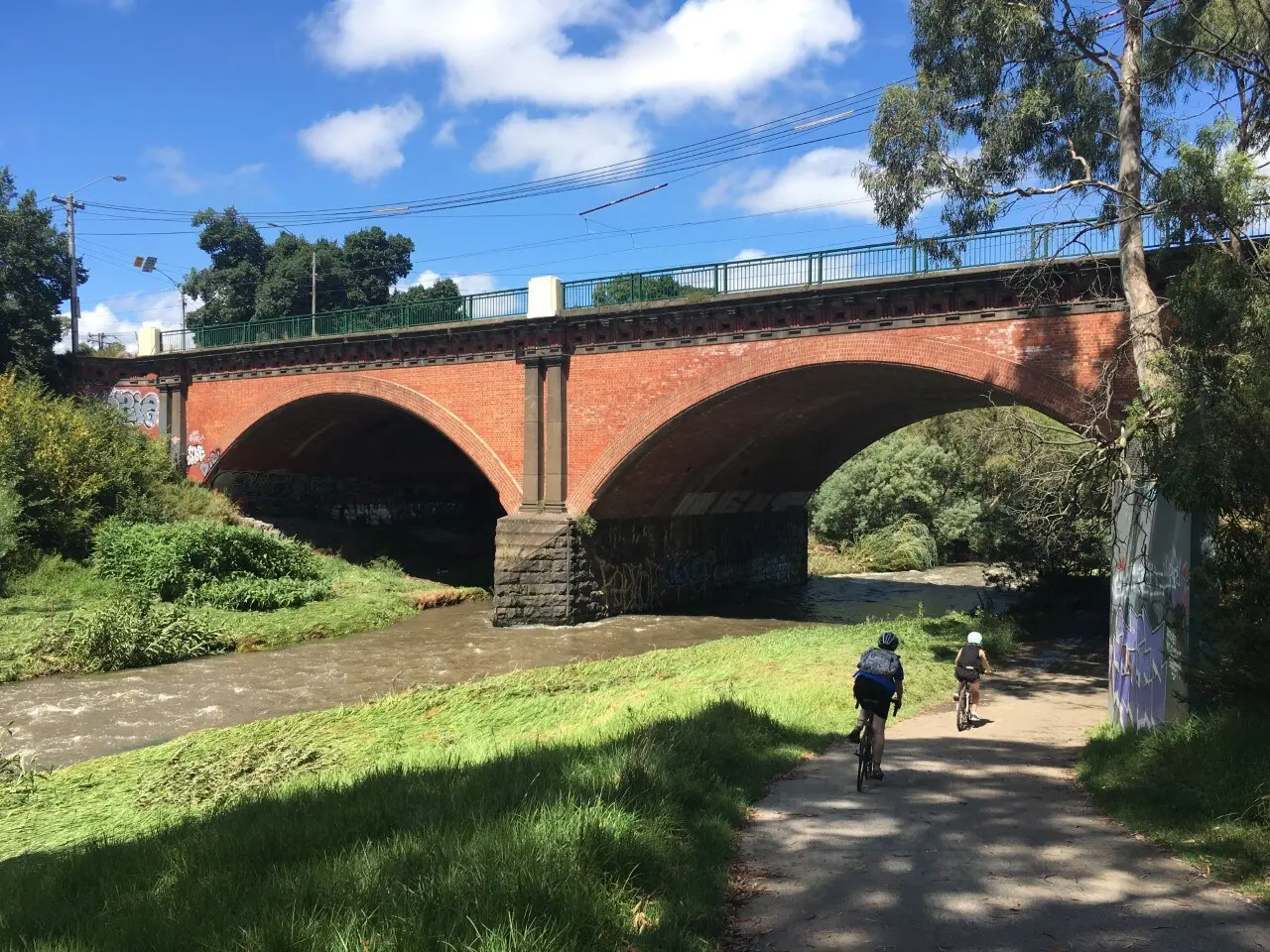
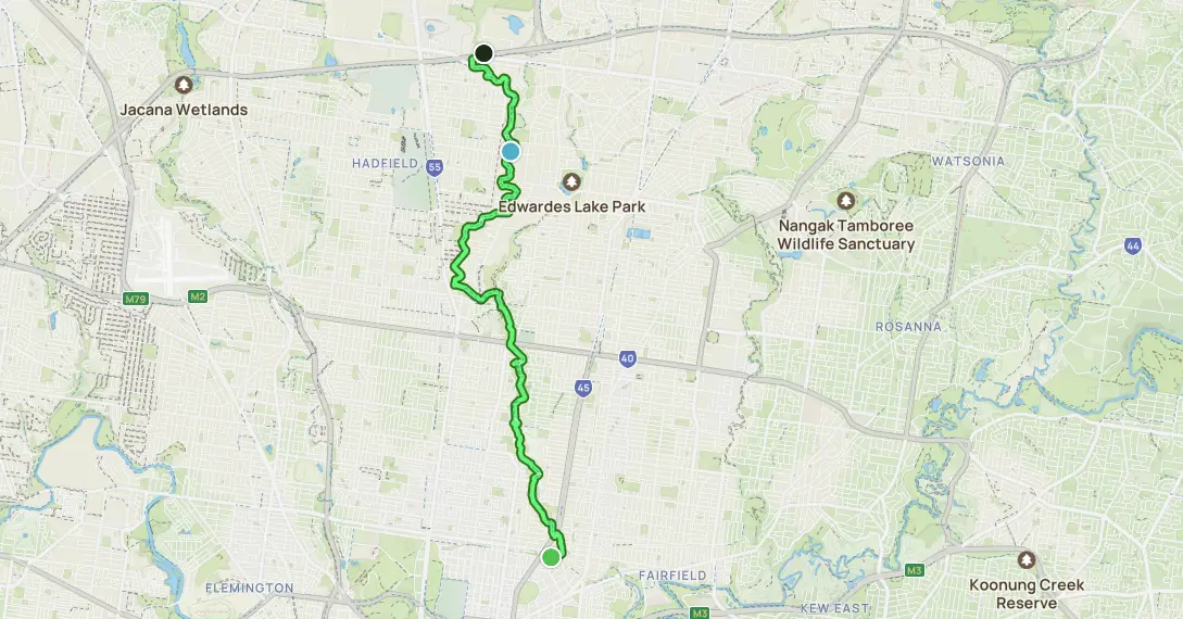
A popular route for mountain biking, road biking, and running, Merri Creek Trail is a stunning point-to-point trail exploring Merri Creek’s banks as it traverses from Fitzroy North to Fawkner. You’ll forget you’re right by the urban world as you pass through breathtaking natural surroundings including a variety of reserves and parks. Most people choose to walk the stretch between CERES Community Environment Park and Dights Falls (which is where the Yarri and Merri Creek meet). Along the way, enjoy the vibrancy of Melbourne suburbs with ample opportunities to access local cafes, restaurants and street art.
Merri Creek Trail
Length: 15.8km
Time: 2 hours
Type: Point to Point
The perfect walk for a warm day – Bay Trail is a decent jaunt, with the opportunity to swim along the way. About midway along this 17.2km trail, you’ll find the historic Brighton Bay bathing boxes. Built in the late 1800s to preserve the modesty of ladies, the boxes are now owned by wealthy Melbournites. The Bay Trail is considered a moderately challenging route with great views over the bay. This is an out and back route that can easily be extended further north or south by continuing along the path.
Bay Trail: Elwood to Sandringham
Length: 17.2km
Time: 3 hours
Type: Out and Back
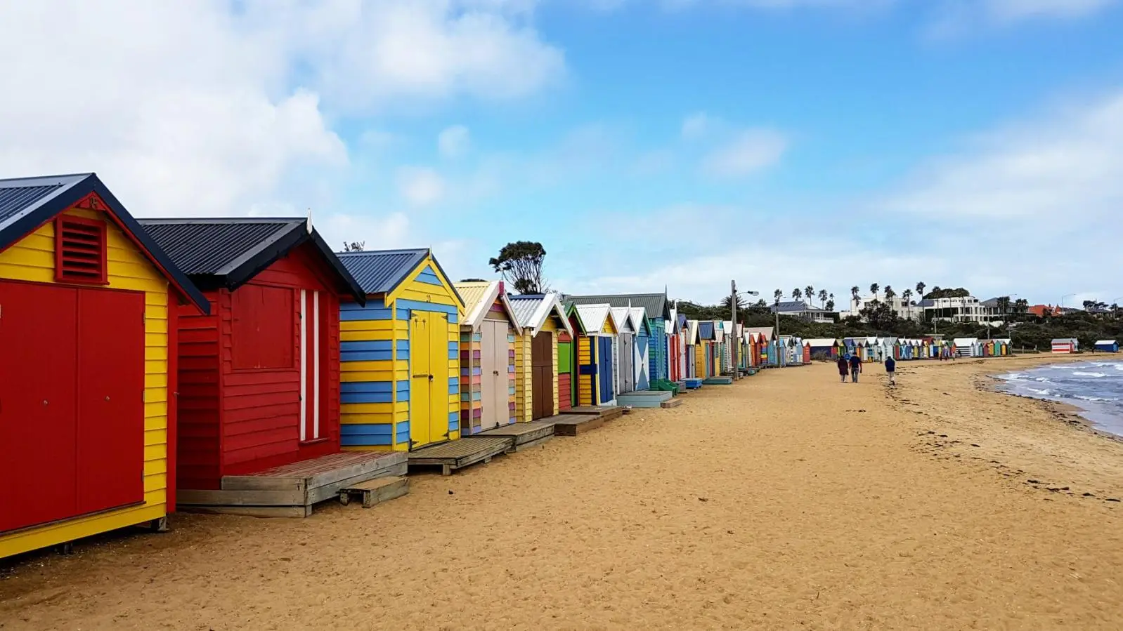
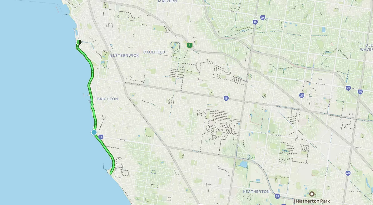
The perfect walk for a warm day – Bay Trail is a decent jaunt, with the opportunity to swim along the way. About midway along this 17.2km trail, you’ll find the historic Brighton Bay bathing boxes. Built in the late 1800s to preserve the modesty of ladies, the boxes are now owned by wealthy Melbournites. The Bay Trail is considered a moderately challenging route with great views over the bay. This is an out and back route that can easily be extended further north or south by continuing along the path.
Capital City Trail
Length: 29.8km
Time: 5 hours
Type: Loop
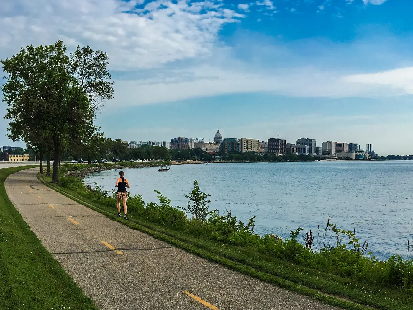
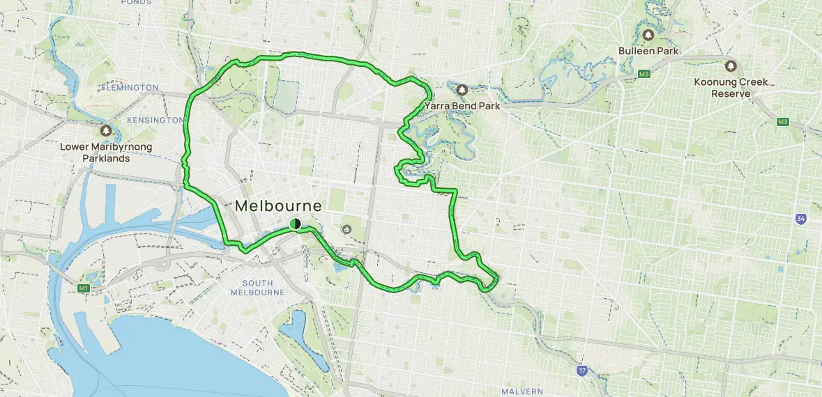
A much-loved 29.8km loop around the Melbourne city centre, the Capital City Trail is popular for biking, running and walking. Exploring the banks of the Yarra River, the trail winds through a range of stunning parks, dropping by the charming streets in the inner north. Multiple shared paths connect with the Capital City Trail, including the Merri Creek Trail, Yarra Trail, Moonee Ponds Creek Trail, and the Inner Circle Rail Trail. We highly recommend heading over Webb Bridge near DFO South Wharf for a fantastic detour. The best place to start is at Princess Bridge near the city centre.
Maribyrnong River Loop
Length: 4.2km
Time: 50 mins
Type: Loop
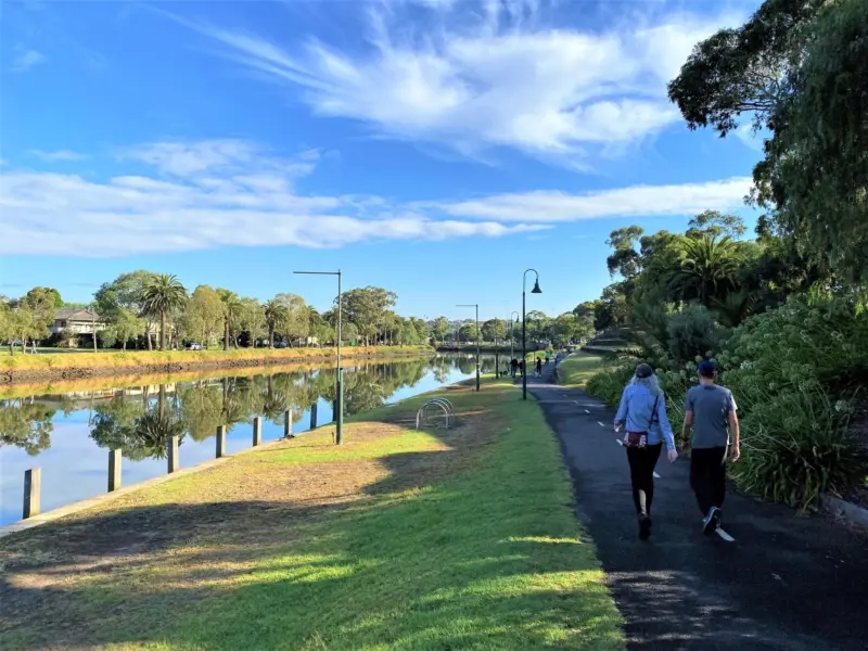
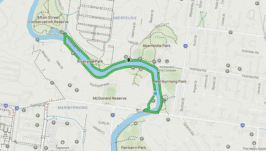
A short and delightful loop situated right next to the Maribyrnong River, this 4.2km trail is scenic and peaceful with ample opportunities to explore both natural and urban landscapes. The circular path starts at Essendon near the Moonee Ponds Creek and winds its way through moat parks and wetlands, before returning to the starting point. Easily accessible from various parts of Melbourne’s western suburbs, people of all fitness levels can take advantage of the track thanks to a well-maintained pathway.
Plenty Gorge Walk
Length: 5.8km
Time: 1.5 hours
Type: Out and Back
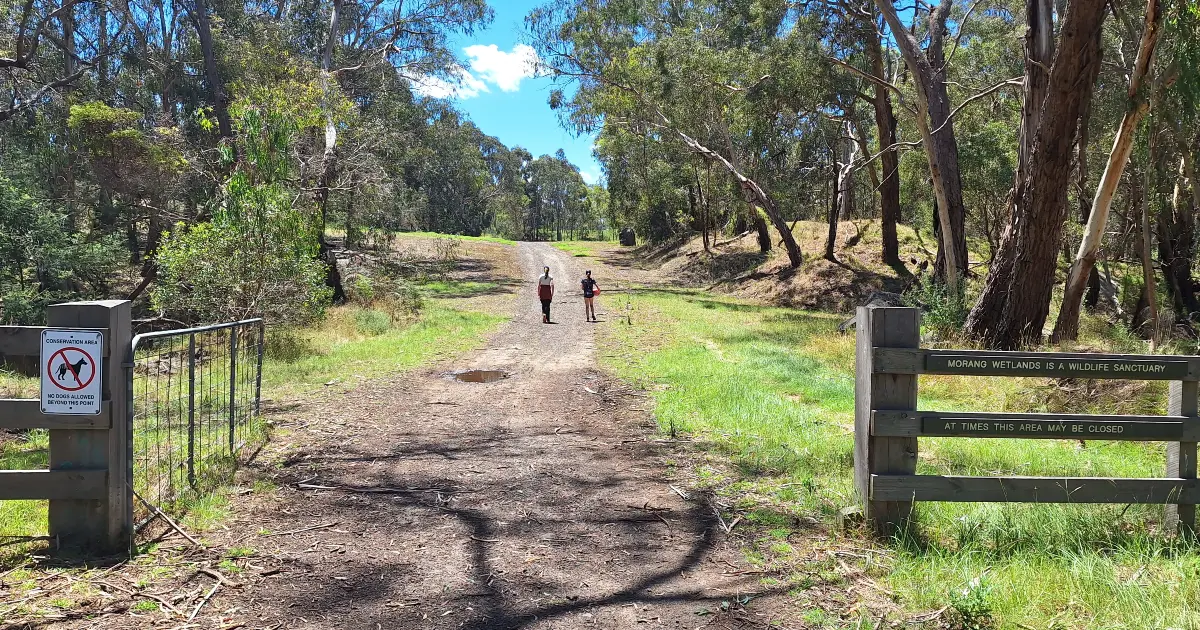
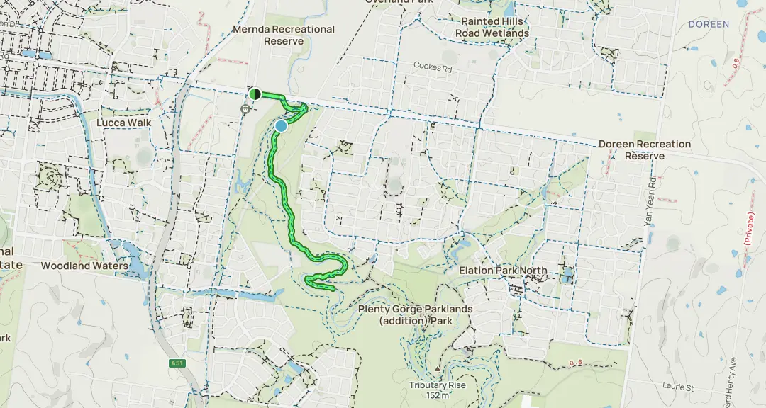
A pocket of native wildlife, Plenty Gorge Walk is perfect for walkers who enjoy spotting different species of wildlife – kangaroos, echidnas, herons, swans and more. This is a 5.8km out-and-back trail known for its stunning views of the Plenty River, as well as lush bushland and rolling hills. The route can be extended by walkers eager to stretch their legs a little further, offering a mix of flat sections and gentle inclines. Plenty gorge itself is the major highlight along this trail, boasting steep cliffs and rugged landscapes. This trail is one of the less-crowded ones near Melbourne.
Organ Pipes Track
Length: 1.4km
Time: 0.5 hours
Type: Out and Back
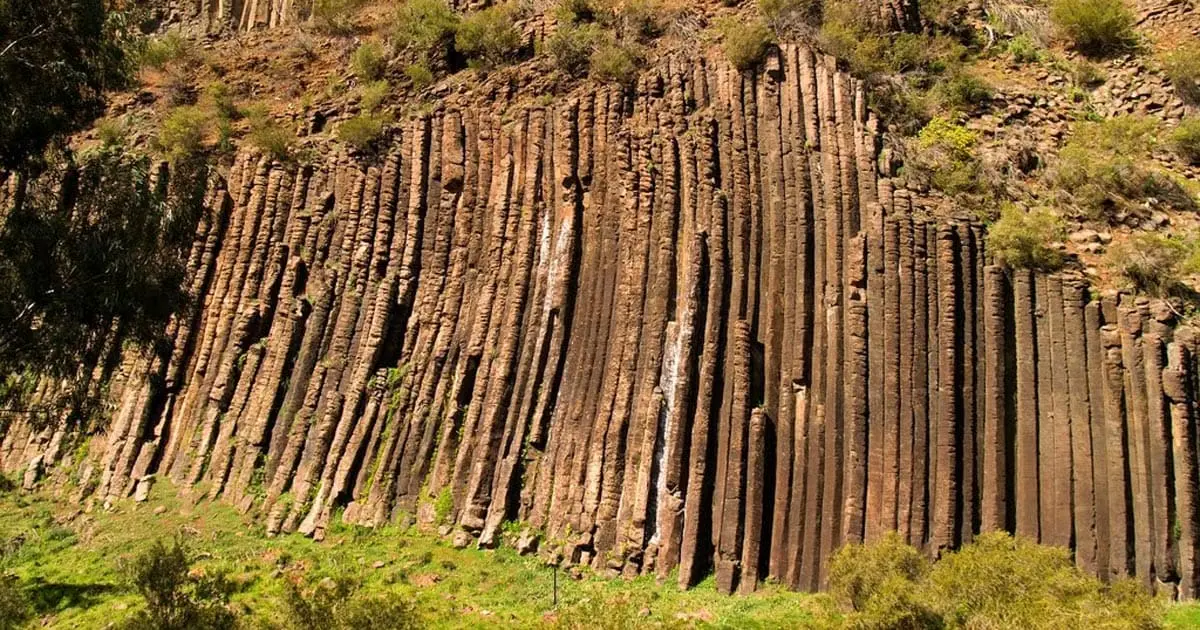
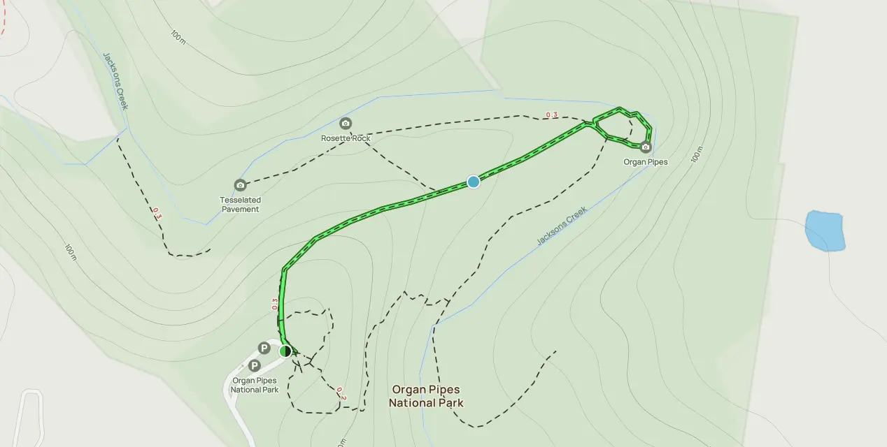
Formed from lava flows over the Keilor Plains from Mount Holden, the 2.5 million-year-old organ pipes are a fantastic reason to explore this short 1.4km route in the Organ Pipes National Park. Considered to be a moderately challenging trail, the walk culminates in the enormous basaltic columns which are settled into the terrain. The columns are some of Melbourne’s most unique geological formations which can be accessed all year-round, however the best time to visit is during spring and autumn when the weather is mild and the bushland is at its most vibrant.
Blue Tongue Bend
Length: 17.9km
Time: 4 hours
Type: Out and Back
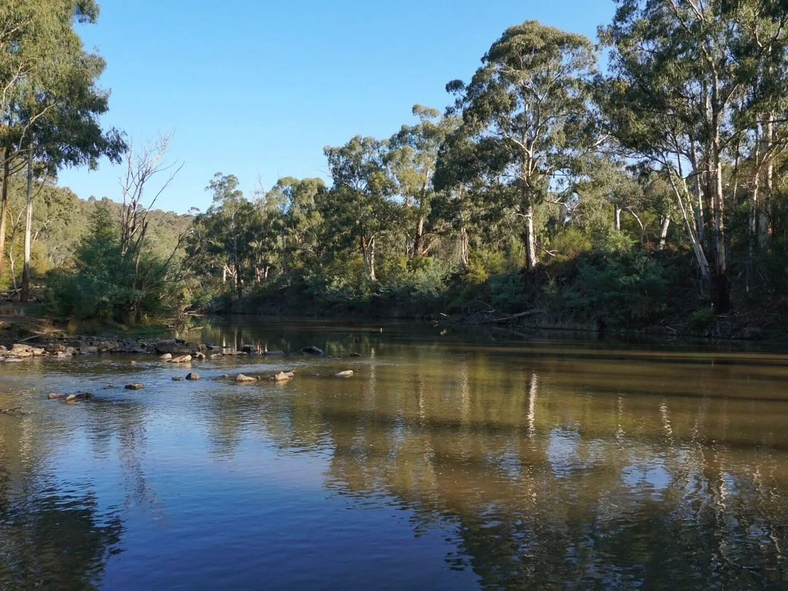
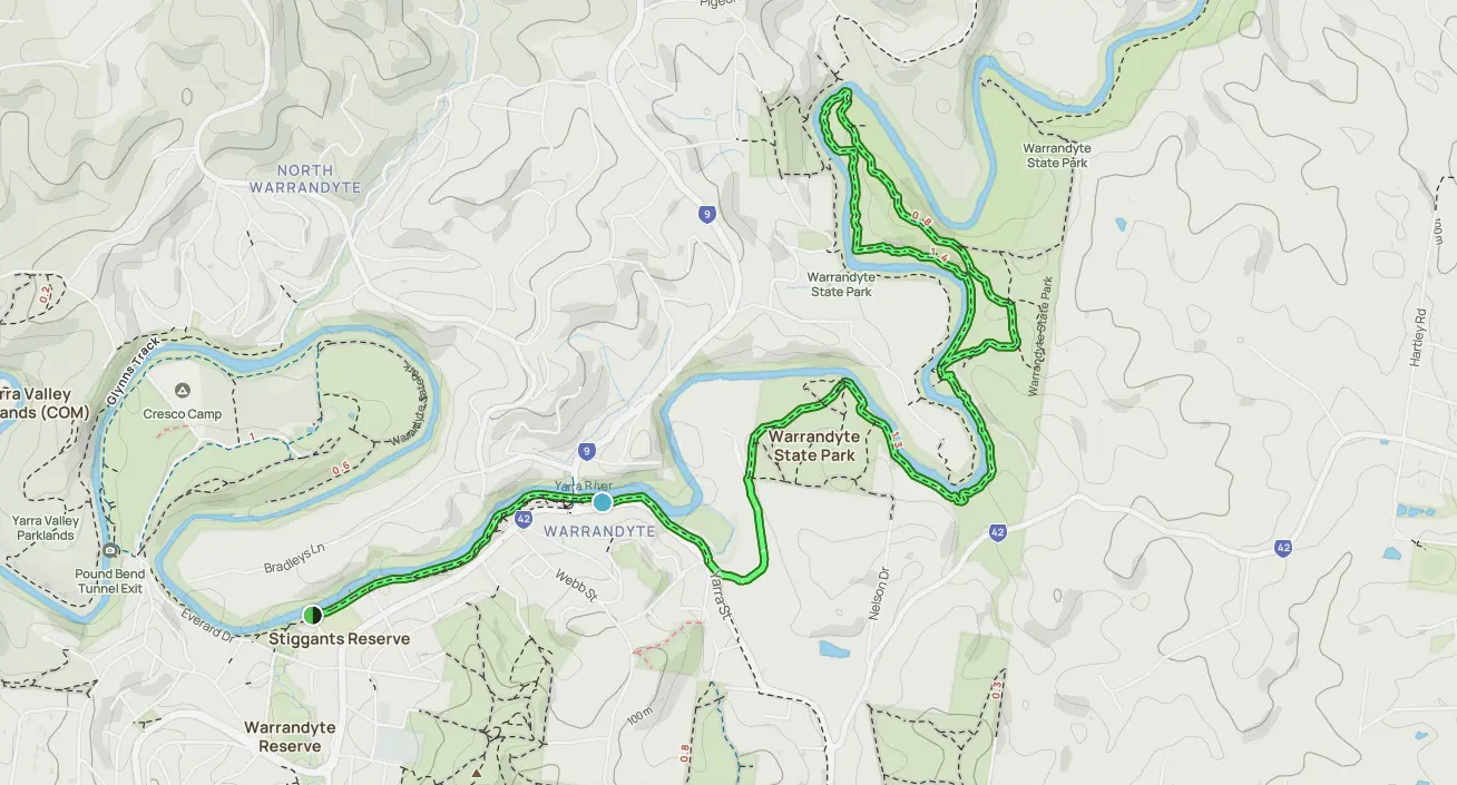
Many points along the Yarra River are highly enjoyable, however, the higher you go, the cleaner and cooler the river is. Which is why, up in northern Warrandyte, where Blue Tongue Bend lies, hiking is a fantastic experience. A few small inclines can be found along this trail, but overall, the path is good for intermediate walkers. Walk the river, enjoy a picnic, or just experience the tranquility away from the hustle and bustle of the city.


